
The new Missouri flood monitoring app puts live river and soil data in the palm of your hand. Residents, farmers, and first responders can check flood and drought conditions before they hit the road, plant a field, or send out a rescue crew. That single change is already reshaping how the state handles its most dangerous weather.
Who benefits from the new tool
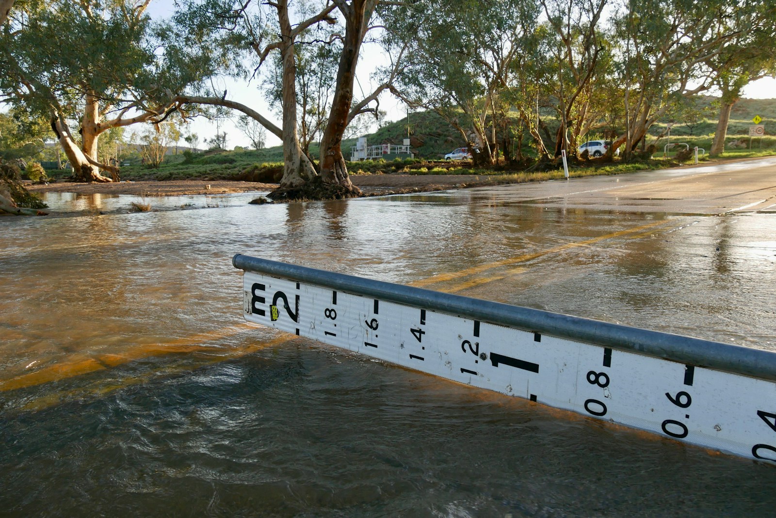
The Missouri Department of Natural Resources built the app for anyone who lives near water. That covers rural drivers who cross low-water bridges every morning. It covers farmers watching soil moisture before planting. It also covers park visitors checking a trail, and emergency managers who need to move fast when a creek rises overnight.
Local law enforcement and first responders get the same real-time numbers the state uses internally. That means less guesswork when a flash flood warning goes out and less time spent calling around for river-gauge readings during an emergency.
What gets easier, faster, and safer
Before this app, flood data sat in scattered databases meant for engineers, not everyday people. Now the state pulls readings from roughly 274 USGS streamgages and 47 of its own monitoring devices. It puts all of that on one map with color-coded severity levels. A resident near the Meramec or Missouri River can open the app and see current conditions in seconds. They can also pull up a five-day flood forecast without decoding a hydrology report.
Drought tracking works the same way. Farmers can watch soil-moisture trends across the state. They can time planting or irrigation around real numbers instead of guesswork. Push alerts let anyone follow a specific stream and get notified the moment conditions change. Families no longer need to check manually during a storm.
The stakes are real. Missouri’s 2019 flood caused roughly $1.2 billion in levee repair costs alone. Better warning tools mean fewer people get caught off guard by fast-rising water. That can also mean fewer dollars spent on emergency repairs and rescues down the road.
Missouri built the Missouri flood monitoring app on Esri’s ArcGIS Hub platform. The state backed it with $10.4 million in American Rescue Plan funding. Zack Becker, who worked on the project, wanted an ordinary person to use it the way they check the weather. He put it this way: “How would someone from the public look at this information?”
Why the Missouri flood monitoring app matters beyond one state
Other states are watching closely. Missouri is among the first to combine flood mapping, soil monitoring, and streamgage data into one public app. That mirrors a pattern showing up across the country, where officials cut wait times with new digital tools instead of leaving residents stuck with confusing paperwork.
It also matters for people who do not live in a big city. Just as rural communities equipped with reliable internet access gain new opportunities, rural Missourians now get the same flood and drought data that city planners use. Preparedness should not depend on your zip code. This app moves the state closer to that goal.
Families near a river benefit. Farmers watching the sky benefit. Small-town first responders working with limited staff benefit most of all. Accessible, real-time information can be the difference between a close call and a real disaster.